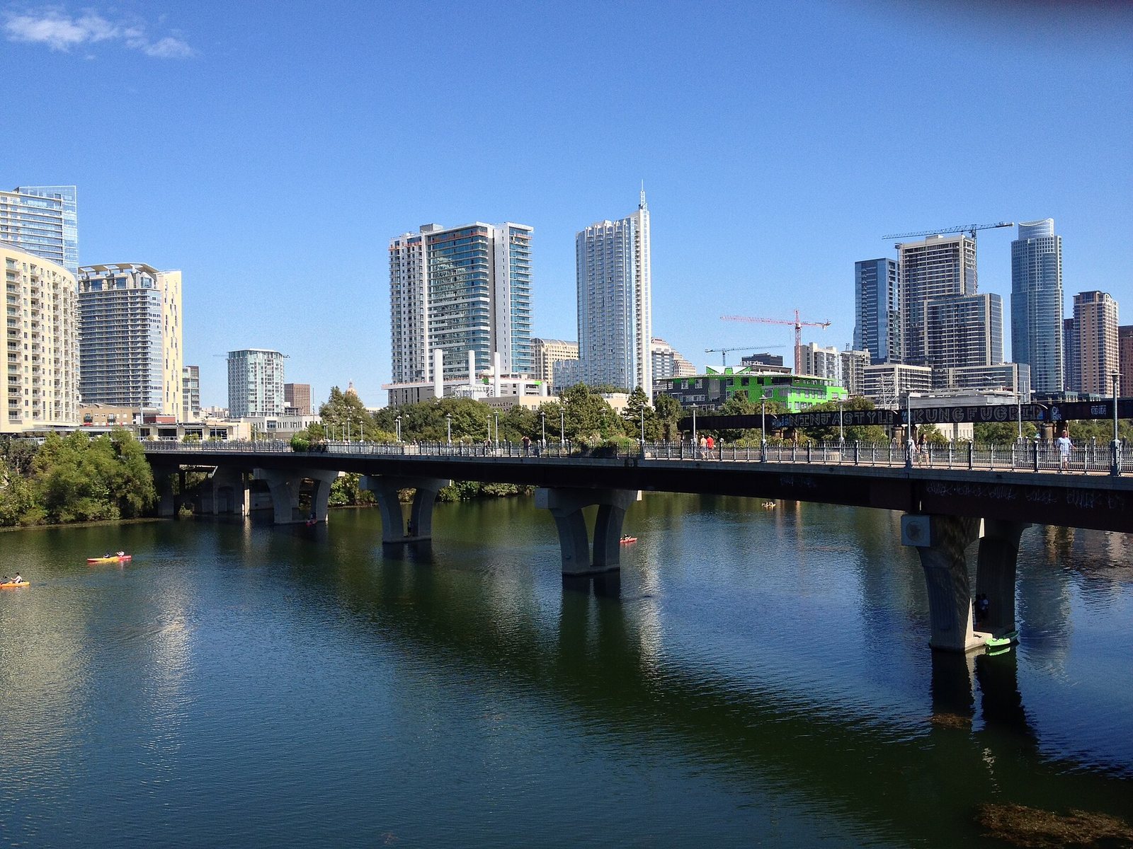
Getting around Austin works best as a mix. In the central city (downtown, South Congress, Rainey Street, East Austin and the University of Texas) you can walk, ride a CapMetro bus for $1.25, or unlock a bikeshare e-bike. For the lakes west of town, the Hill Country and most day trips, you’ll want a car or a rideshare. From Austin-Bergstrom International Airport (AUS), the Route 20 bus reaches downtown in about 35 minutes for $1.25, and rideshare cars and taxis pick up on the ground level beside the rental car center.
This guide is for first-time visitors, anyone deciding whether a rental car is worth the money, and anyone holding an older guide that still talks about paper day passes or the South Terminal. The caveat that matters most: Austin’s traffic is worse than the city’s size suggests, and the rebuild of I-35 through the middle of town will run for years, so pad every drive at rush hour. Fares, meter hours and airport details below were checked on September 23, 2026 against official sources, mainly CapMetro, the City of Austin and the airport itself. For budgets, seasons and the rest of the planning, start with our complete Austin travel guide.
What’s closed or different right now?
Austin’s transport picture changed a lot in 2026. These are the changes most likely to trip you up this fall.
- ACL Festival has taken over Zilker Park. The festival runs October 2-4 and 9-11, 2026. Zilker’s Great Lawn and most of its parking lots are closed until October 18, and many surrounding streets close on festival days. Barton Springs Pool stays open (enter from Azie Morton Road on festival weekends), while Zilker Botanical Garden and the UMLAUF Sculpture Garden close both weekends.
- Day passes and the CapMetro app are gone. Fareboxes no longer sell or accept day passes, and CapMetro retired its own app in favor of the Umo app. Fare capping, explained below, now gives you the old $2.50-a-day deal automatically. Exchange any leftover paper passes before December 31.
- Fares may rise in January 2027. CapMetro’s board scheduled a September 28, 2026 vote on raising the local fare from $1.25 to $1.50 (with a $3 daily cap) and train fares from $3.50 to $4, starting January 10, 2027. The prices in this guide hold through at least January 9, 2027.
- Allegiant and Frontier changed terminals. Since April 1, 2026, both airlines fly from the main Barbara Jordan Terminal. Ignore older directions that send you to the South Terminal on Logistics Lane.
- Construction, nearly everywhere. The airport’s expansion program has work visible in and around the terminal, TxDOT is rebuilding I-35 through central Austin, and the Butler Trail around Lady Bird Lake has north-shore detours near Rainey Street, The Confluence and Brazos Street that run into early 2027.
Which way of getting around fits your trip?
Most visitors end up using two or three of the options below. The table is the short version; the sections after it explain the catches.
| Option | Cost (Sept. 2026) | Best for | Weak spot | Plan ahead? |
|---|---|---|---|---|
| Walking | Free | Downtown, Congress Avenue, Rainey Street, the lake trail, South Congress | Heat from June to September; long gaps between neighborhoods | Book a central hotel |
| CapMetro bus and Rapid | $1.25 a ride, capped at $2.50 a day | The airport, UT, South Congress, South Lamar, the Domain | Waits of 15 to 30 minutes on many routes; thin service in the western hills | Set up tap-to-pay or the Umo app |
| CapMetro Rail | $3.50 a ride | Austin FC matches at Q2 Stadium, the northern suburbs | One line, few visitor stops, no Sunday service | Check that day’s schedule |
| Bikeshare e-bike | $2.50 plus 25 cents a minute, or $10 for a day pass | Lady Bird Lake, Zilker Park, East Austin | Summer heat; the hills west of MoPac | Download the CapMetro Bikeshare app |
| Rental scooter | Set by each operator, per minute | Short hops downtown on a mild evening | Cluttered sidewalks; banned on the Capitol grounds | Install an operator’s app |
| Rideshare or taxi | Changes with demand | Airport runs, nights out, the west side, groups | Surge pricing at bar close and after big events | No |
| Rental car | Daily rate plus parking and tolls | The Hill Country, Hamilton Pool, Lake Travis, day trips | Downtown parking costs and rush hour | Yes, especially on festival dates |
Verdict: For a three- or four-day trip based downtown or on South Congress, skip the rental car: walk, ride the buses along the main corridors, and budget for a few rideshares at night. Rent a car only for Hill Country days. Where you sleep shapes all of this more than any fare table, so if you haven’t booked, our guide to where to stay in Austin breaks down the main areas to base yourself in.
How do you get from Austin-Bergstrom Airport to downtown?
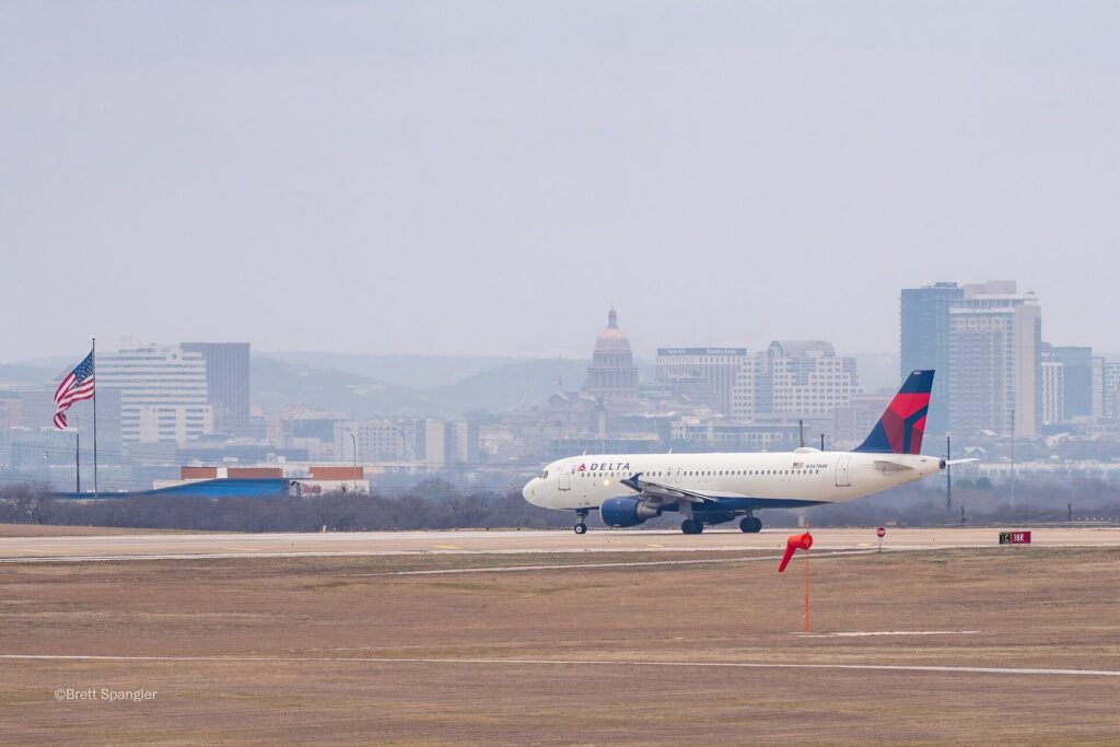
Austin-Bergstrom sits southeast of downtown, off State Highway 71, roughly 8 miles away by road. Every airline now uses the Barbara Jordan Terminal, so every arrival starts in the same baggage claim, with four realistic ways into town.
| Option | Cost | Time to downtown | Where to find it | Best for |
|---|---|---|---|---|
| CapMetro Route 20 | $1.25 | About 35 minutes | Lower level, just outside baggage claim | Solo travelers with light bags |
| Night Owl Route 483 | $1.25 | Varies with stops | Airport stop; after midnight to 4 a.m. | Very late arrivals on a budget |
| Rideshare (Uber, Lyft) | Changes with demand | About 15 to 30 minutes, longer at rush hour | Ground level under the rental car facility, behind the Red Garage | Most visitors, groups, late arrivals |
| Taxi | Metered | About 15 to 30 minutes | The same ground-level pickup area | Travelers who’d rather skip the apps |
| Rental car | Daily rate plus parking | About 15 to 30 minutes | Consolidated Rental Car Facility, behind the Red Garage | Trips that include the Hill Country |
The $1.25 option: Route 20
CapMetro’s Route 20 (Manor Road/Riverside) starts at the airport and runs every 15 to 30 minutes, seven days a week. It heads west along Riverside Drive, stops downtown, then continues north to the UT campus. CapMetro puts the ride to downtown at about 35 minutes. The stop is on the lower level, just outside baggage claim. Pay by tapping a contactless card or phone on the reader, by showing an Umo QR code, or with exact change in cash. Anyone under 18 rides free.
Verdict: Hard to beat on price if you travel light and your hotel is near a downtown stop. With two big suitcases in August, or a hotel well off the route, the savings stop feeling worth it.
Landing after midnight: the Night Owl
If your flight lands after the regular buses wind down, Night Owl Route 483 runs between the airport and downtown’s Sixth Street from after midnight until 4 a.m., for the same fare. Most people arriving at 1 a.m. will still be happier in a rideshare that goes door to door.
Rideshare and taxis
Rideshare and taxi pickups share one spot: the ground level underneath the Consolidated Rental Car Facility, directly behind the Red Garage, which is the parking garage closest to the terminal. Follow the ground transportation signs from baggage claim. The airport also runs a small rideshare tram that picks up at both entrances of the Red Garage’s first floor, which helps if you’re wrangling kids or a lot of luggage.
Prices move with demand: a midweek midday ride costs far less than the same trip during ACL, before a Formula 1 weekend, or when several delayed flights land at once. Compare both apps, and if the surge is steep, the Route 20 stop is a short walk from baggage claim.
Accessible pickups
The airport keeps a Mobility Assistance Zone for wheelchair-accessible vehicles, taxis and rideshares, free and open daily from 7 a.m. to 2 a.m. Request an accessible vehicle while you’re still at baggage claim, since there are fewer on the road.
Rental cars
The rental companies share the Consolidated Rental Car Facility, directly behind the Red Garage, so there’s no off-airport shuttle to wait for. Before you sign, ask how the company handles tolls: several of the fastest roads around Austin are cashless toll roads, and rental toll plans often add a daily fee on top of the tolls.
Picking someone up or parking at AUS
Drivers meeting a flight can wait at the cell phone lot at 2901 Spirit of Texas Drive until their passenger reaches the curb, which beats circling the terminal loop. For parking, the airport runs an Economy Lot and two garages, with live availability and current rates at ABIAParking.com. The airport warns that parking “can fill up quickly” leading up to and during the holidays, so check availability before you leave home at Thanksgiving or Christmas.
Flying out of Austin
The airport is in the middle of a long expansion program, and the construction doesn’t make the terminal any calmer. It asks domestic travelers using general TSA screening to arrive at least 2.5 hours before departure, and international travelers to check in with their airline at least 3 hours ahead. That sounds like a lot for a mid-size airport; the airport says it anyway, and it would know. Returning a rental car adds about 15 minutes.
Do you need a car in Austin?
Only if your plans leave the central city. Austin sprawls, and its transit is built around a handful of north-south corridors, so the answer depends on where you’ll spend your days, not on how long you’re staying.
| Your trip | Car? | Why |
|---|---|---|
| Downtown, South Congress, Rainey Street, East Austin, live music | No | Walking, Rapid buses and rideshare cover it, and parking eats money |
| A UT campus visit or a Longhorns game | No | Rapid 801 and 803 run along the edge of campus, and game-day parking is scarce |
| Zilker Park, Barton Springs, Lady Bird Lake | Optional | Route 30 and the lake trail get you there; weekend lots charge $3 an hour in season |
| Mount Bonnell, Mayfield Park, the Wildflower Center | Helpful | They’re spread across the hilly west and southwest sides, where buses are slower |
| Lake Travis, Hamilton Pool, Hill Country wineries | Yes | No practical transit, and rideshares can be hard to find for the trip back |
| Day trips to San Antonio, Fredericksburg, Lockhart or Wimberley | Yes | Each is roughly 30 to 80 miles away |
Verdict: Treat a car as a tool for specific days, not the whole trip. Two days in town and one in the Hill Country? Rent for the one day from an in-town branch and skip two nights of hotel parking. In our Austin itineraries, the days that leave the city are the ones that need wheels.
Austin’s main roads, decoded
Six roads explain most of the city, and knowing them makes a map app’s choices less mysterious.
- I-35 runs north-south along downtown’s east edge and is among the most congested highways in Texas. TxDOT’s rebuild means lane shifts and ramp closures for years.
- MoPac (Loop 1) is the west-side alternative past Zilker Park and UT, with tolled express lanes priced by traffic.
- US 183 and SH 71 take you to the airport. SH 71 is Ben White Boulevard through South Austin.
- Loop 360 (Capital of Texas Highway) curves through the western hills and over the Pennybacker Bridge, the scenic route between Southwest and Northwest Austin.
- SH 130 is a toll bypass east of the city, handy for skipping I-35 entirely.
- US 290 heads west to Dripping Springs, Johnson City and Fredericksburg. It’s the Hill Country road, and on Friday afternoons it proves it.
Nearly every toll road around Austin is cashless: no booths, just cameras that bill the plate or a toll tag. Rental companies pass those tolls on, usually with a fee, so read the toll policy before you let the map app pick a route.
When is traffic worst?
Weekday rush hours, roughly 7 to 9 a.m. and 4 to 7 p.m., slow I-35, MoPac and US 183 badly. Friday afternoons are rough heading west toward the lakes, and Sunday afternoons coming back. Then add the events: UT home football games, ACL’s two weekends, Formula 1 week and South by Southwest in March. On those days, leave a real buffer for anything with a departure time. Nobody at the gate cares that I-35 had a lane closed.
How does parking work in Austin?
Parking in central Austin is paid, enforced and increasingly app-based. Meter hours differ by district, and the hourly rate climbs the longer you stay.
| Meter district | Paid hours | Good to know |
|---|---|---|
| Downtown (I-35 to Lamar, Lady Bird Lake to 10th Street) | Mon-Tue 8 a.m.-6 p.m.; Wed-Fri 8 a.m.-midnight; Sat 11 a.m.-midnight | Free on Sundays |
| South Congress (S. 1st Street to Newning Avenue, Riverside Drive to Oltorf Street) | Mon-Sat 8 a.m.-midnight; Sun 1 p.m.-midnight | Pay with the Park ATX app only |
| East Austin (I-35 to Chicon Street) | Mon-Sat 8 a.m.-midnight | Covers much of the East Sixth bar strip |
| Capitol and UT area | Mon-Sat 8 a.m.-6 p.m. | Free after 6 p.m. and on Sundays |
The rate is $2 an hour for the first two hours. After that it steps up: $3 for the third hour, $3.50 for the fourth, $4 for the fifth, $4.50 for the sixth and $5 an hour from the seventh, up to a 10-hour maximum. Do the math and a full 10 hours on a downtown meter comes to $39 before fees. Short stops are cheap and long ones aren’t, so for anything past two or three hours, compare a garage.
How do you pay for street parking?
- Park ATX app: the City’s own app, with a 40-cent convenience fee per transaction, and the only way to pay on South Congress. The codes FREE15ATX1 and FREE15ATX2 each give 15 free minutes in any paid on-street space, once every 24 hours: perfect for a coffee run.
- Pay stations: they take coins and cards, with a 50-cent processing fee on cards.
- Text to pay: text “parking” to 30843.
- Way.com: the City also accepts payment through this third-party app.
Meters aren’t enforced on New Year’s Day, the Fourth of July, Labor Day, Thanksgiving and Christmas. Drivers with a disability placard park free at on-street meters but still have to observe time limits, and motorcycles and mopeds park free with a 12-hour limit.
Garages, hotels and private lots
Downtown has plenty of City-owned and private garages, mapped on the City’s downtown parking map, with rates that vary by operator and jump on event nights. Hotel parking is its own line item: downtown and South Congress hotels generally charge nightly for self-parking or valet, so check the fee before you book.
Private lots near Sixth Street and Rainey Street post their own rules, and they do tow. Read the sign, pay the machine or app it names, and photograph your receipt. Around South Congress and UT, watch for residential permit zones: a free-looking curb on a side street often isn’t.
Parking at Zilker Park and Barton Springs
Zilker Park and Barton Springs Pool charge $3 an hour per vehicle on Saturdays, Sundays and holidays from spring break (March 1, by the Barton Springs page) through Labor Day; weekdays are free. The free Zilker Loop summer shuttle ended for the season on September 7, 2026. CapMetro Route 30 stops at Barton Springs, and the lake trail from downtown gets you there on foot or by bike.
Is Austin public transportation worth using?
For some trips, very much so. CapMetro is mainly a bus system, plus one commuter rail line and a bikeshare network. Its Rapid routes come often along the corridors visitors use most (Lamar Boulevard, Guadalupe Street past UT, and South Congress), but service is thin in the western hills and late at night. Fares are low, and children ride free.
What does a bus ride cost?
| Fare | Single ride | Daily cap | Covers |
|---|---|---|---|
| Local | $1.25 | $2.50 | Local buses, Rapid, UT Shuttle, Pickup |
| Commuter | $3.50 | $7.00 | CapMetro Rail and Express buses |
| Reduced local | $0.60 | $1.25 | Riders who qualify for reduced fares |
| Under 18 | Free | Free | Kids and teens |
Fare capping does the work the day pass used to: pay each ride with the same card, phone or account, and once you’ve paid $2.50 in a service day on local routes, the rest of that day’s local rides are free. Staying a month? Monthly passes are $41.25 local and $96.25 commuter.
How do you pay?
- Tap to Pay: tap a contactless credit or debit card, phone or watch on the bus reader. No app or account, and it caps at $2.50 a day. The catch: it works on buses only, with no monthly cap.
- Umo app: buy fares in the app and show the QR code when you board. It works on buses and on the train.
- Reloadable fare card: free from the Transit Store or select H-E-B grocery stores; it suits a longer stay.
- Cash: exact change at the farebox buys a single local ride and nothing more.
While CapMetro replaces its fareboxes, riders board at the front door only. On the train, pay with Umo, pay the conductor’s handheld reader with a card, or buy a single ride at a station ticket machine, which takes cash only.
Which routes do visitors actually use?
| Route | Useful for | Notes |
|---|---|---|
| 20 Manor Road/Riverside | The airport, downtown, UT | Every 15 to 30 minutes, seven days a week |
| 483 Night Owl | Airport to downtown’s Sixth Street late at night | After midnight to 4 a.m. |
| Rapid 801 North Lamar/South Congress | South Congress shops, downtown, UT, North Lamar | Runs Tech Ridge to Southpark Meadows |
| Rapid 803 Burnet/South Lamar | South Lamar restaurants, downtown, UT, the Domain | Runs the Domain to Westgate |
| Rapid 800 Pleasant Valley | Mueller and East Austin | New in 2026; runs Mueller to Goodnight Ranch |
| Rapid 837 Expo Center | Downtown’s Republic Square to northeast Austin | New in 2026; ends at the Expo Center Park & Ride |
| 30 | Barton Springs and Zilker Park | Stops at Barton Springs |
| 550 CapMetro Rail | Q2 Stadium, the northern suburbs | Commuter fare; no Sunday service |
The newest Rapid lines, 800 and 837, reached full service in June 2026 and run every 10 to 15 minutes, CapMetro says. For visitors, Rapid 801 does the most work, linking South Congress, downtown and UT.
CapMetro Rail: when does the train make sense?
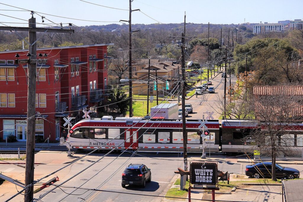
Austin’s only passenger rail line is CapMetro Rail, the old MetroRail Red Line, now numbered Route 550. It runs 10 stations from downtown north to Leander, including Highland, McKalla and Kramer. Trains come every 15 to 30 minutes, from 5 a.m. to 8 p.m. Monday through Thursday, 5 a.m. to midnight on Friday, and 10 a.m. to midnight on Saturday. There’s no Sunday service listed. A single ride costs the $3.50 commuter fare. Exceptions apply, so check the day you ride.
Verdict: The train is the right call for an Austin FC match, since McKalla station serves Q2 Stadium, and for reaching the northern suburbs. For most sightseeing it’s the wrong tool: it misses South Congress, Zilker Park and the airport entirely.
Tips for riding CapMetro
- Many stops have little shade. In summer, wait in the nearest patch of it rather than at the pole.
- Kids under 18 ride free, which makes the bus a good deal for families. Our guide to Austin with kids has more on keeping a family trip moving.
- Light rail isn’t open. Voters approved a rail plan in 2020, but no line serves visitors yet.
Can you get around Austin by bike or scooter?
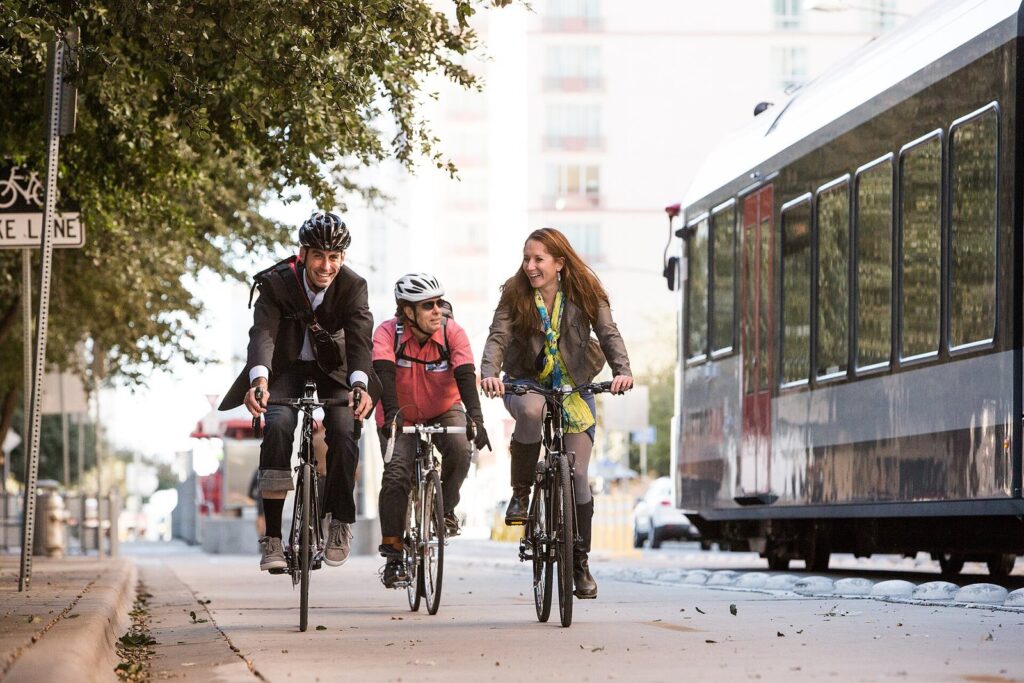
Yes, and for the lake, Zilker and the East Side, a bike is often the fastest way to go. Austin has protected bike lanes on several downtown streets, a 10-mile trail loop around Lady Bird Lake and a docked e-bike share. The limits are the western hills and the summer heat.
CapMetro Bikeshare
Austin’s bikeshare, called CapMetro Bikeshare since it dropped the MetroBike name in summer 2024, rents electric bikes that you unlock by scanning a QR code in the CapMetro Bikeshare app. Prices changed on August 1, 2025, so older guides quoting MetroBike prices are wrong. A single trip now costs $2.50 plus 25 cents a minute. The $10 day pass covers unlimited 30-minute trips, with 25 cents a minute beyond that. For longer stays there’s a 31-day pass for $25 and an annual pass for $150.
For sightseeing, buy the day pass. A string of short hops (hotel to the lake trail, the trail to South Congress, South Congress to dinner) fits inside the 30-minute windows if you dock between legs.
Where are the best places to ride?
The Ann and Roy Butler Hike-and-Bike Trail loops about 10 miles around Lady Bird Lake, mostly on crushed granite, and it’s the city’s best ride for visitors. Its boardwalk, about 1.3 miles long on the south shore, is open from 5 a.m. to midnight. Weekend mornings are crowded with runners, strollers and dogs, so ride slowly and call out when you pass, and expect the north-shore detours into early 2027.
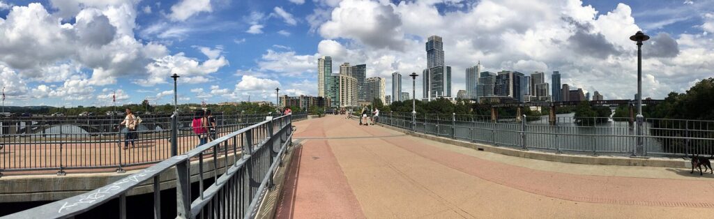
The James D. Pfluger Pedestrian and Bicycle Bridge carries walkers and riders across the lake beside Lamar Boulevard, linking the north-shore trail with the south shore near Zilker Park. The hills west of MoPac are a workout even with an e-bike’s assist, and the heat matters more: from June through September, ride before 10 a.m. or after sunset, and carry water.
Are rental scooters worth it?
Dockless electric scooters, rented by the minute through each operator’s app, are a quick way to cover the mile or so between, say, the Capitol and Rainey Street. Which companies operate, and what they charge, changes from year to year, so check the apps when you land. Stick to bike lanes where you can, park upright and out of the walkway, and keep off the Capitol grounds, where motorized scooters aren’t allowed.
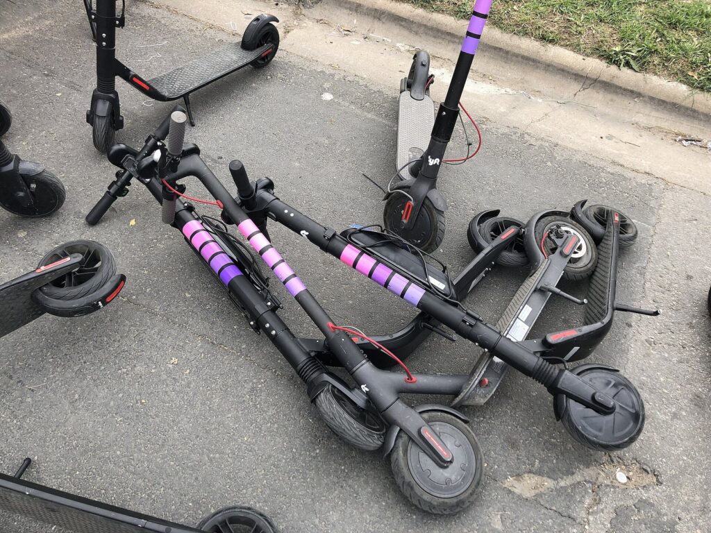
Verdict: Fine for a short hop on a mild evening. For anything involving luggage, kids, rain or a few drinks, take a rideshare instead.
Is Austin walkable?
In pockets, yes. Downtown’s grid, Congress Avenue, the Second Street District, Rainey Street, East Sixth, the UT campus and the South Congress strip are all pleasant on foot. The trouble is the space between them: long blocks, highway crossings and summer heat. Walk within a neighborhood and ride between them.
| From | To | Roughly |
|---|---|---|
| Texas Capitol | Congress Avenue Bridge | About 1 mile, a straight 20-minute walk down Congress |
| Congress Avenue Bridge | The heart of the South Congress shops | About 1 mile, gently uphill |
| Congress Avenue at Sixth Street | Rainey Street | Under a mile |
| Downtown | Zilker Park and Barton Springs | About 2 miles along the lake trail |
| Congress Avenue at Sixth Street | The UT Tower | About 1.5 miles |
Summer afternoons in Austin routinely run in the high 90s°F, and downtown has little shade at midday. Walk early or after dark, carry water, and duck into air-conditioned museums between legs. Our guide to the best time to visit Austin explains why spring and fall are the walking seasons.
Crossing I-35 on foot takes care while the highway is rebuilt: use the signalized crossings and follow posted detours. The best walk in the city is the lake trail between the Congress Avenue Bridge and the Pfluger bridge, with water, skyline and shade trees in one go. Our list of things to do in Austin covers what to see along the way.
Rideshare, taxis, pedicabs and driverless cars
Uber and Lyft
Both run across the metro area and are most visitors’ default for nights out and anything west of MoPac. Expect surge pricing right after last call at 2 a.m., after big concerts and games, and during festivals. On busy nights, walk a couple of blocks away from Sixth Street or Rainey Street before requesting, because closures and crowds slow pickups. Planning a late one? Our Austin nightlife guide covers where to go.
Taxis
Taxis serve the airport and can be booked by phone or app, but there are far fewer of them than rideshare cars. They’re metered, and a good fallback when the apps show a steep surge.
Pedicabs
Bicycle-powered pedicabs work downtown, around Rainey Street and at big events, and they’re made for hops of a few blocks. Agree on the price before you sit down, including whether it’s per person or per ride.
Driverless cars
Austin was one of the first American cities where you could hail a car with nobody in the driver’s seat. Waymo’s robotaxis began taking riders here through the Uber app in 2025, and Tesla launched its own robotaxi service in Austin the same year. Service areas and airport access keep changing, so open the apps and see what’s offered for your route on the day.
Getting around Austin during ACL, SXSW, F1 and game days
Big events change everything about getting around Austin. The rules of thumb: don’t drive to the event, book lodging early, and give the airport extra time on the last day. Our calendar of Austin events and festivals has the dates.
ACL Festival (Zilker Park, October)
Festival parking is close to nonexistent by design, with Zilker’s lots and many nearby streets closed. Walk or bike in from downtown across the lake, or use a rideshare and follow the festival’s posted drop-off and pickup points. Check CapMetro’s service alerts for detours around the park before relying on a bus.
South by Southwest (downtown, March)
SXSW fills downtown every March, with street closures around the convention center and Sixth Street. The City’s Upcoming Special Event Street Closures map shows planned closures, though it warns it may not list them all. Walk between venues, use bikeshare for longer gaps, and expect rideshare prices to jump at night. If music is the point, our guide to live music in Austin covers the year-round venues.
Formula 1 at Circuit of The Americas (late October)
COTA sits in the countryside southeast of the city, beyond the airport, so plan on a shuttle or a car. For race weekend, COTA sells round-trip shuttle passes from downtown; check the circuit’s site for pickup points and times, and buy early. Driving means prepaid parking and a long, slow exit, and post-race rideshare pickups are a patience test.
Austin FC, Longhorns football and holidays
For Austin FC, take the train: CapMetro Rail’s McKalla station serves Q2 Stadium. On Longhorns football days, the streets around campus clog for hours, and Rapid 801 and 803 beat circling for a garage. Around Thanksgiving and Christmas, the airport’s garages and Economy Lot can fill, so check availability before you drive to your flight.
Getting around Austin with a disability
- At the airport: the Mobility Assistance Zone for wheelchair-accessible vehicles, taxis and rideshares is free and open daily from 7 a.m. to 2 a.m.
- On transit: CapMetro’s paratransit service is called MetroAccess. Under federal ADA rules, visitors who are already certified for paratransit at home can use local paratransit for up to 21 days in a 365-day period. Contact MetroAccess before your trip to set it up.
- Parking: vehicles with a disability placard park free at the City’s on-street meters, but time limits still apply.
- At the Capitol: the accessible entrance is the North Entrance, and wheelchairs can be checked out at the Tour Guide office.
- On the trail: the south-shore boardwalk is the smoothest stretch of the Butler Trail; much of the rest is crushed granite, with some grades.
- In the heat: schedule outdoor legs for the morning and keep rideshare as a backup.
How do you reach the Hill Country and day trips?
By car. There’s no practical transit to Lake Travis, Hamilton Pool, Dripping Springs, Wimberley or Fredericksburg, and a rideshare out may be hard to match for the ride back. Rent for the day or book a tour with transport. Our guide to day trips from Austin covers where to go; here are honest driving times from downtown.
| Destination | Distance from downtown | Typical drive, light traffic |
|---|---|---|
| Austin-Bergstrom Airport | About 8 miles | 15 to 25 minutes |
| Zilker Park and Barton Springs | About 2 miles | 5 to 10 minutes |
| Mount Bonnell | About 5 miles | 15 minutes |
| McKinney Falls State Park | 13 miles from the Capitol | 20 to 25 minutes |
| Lady Bird Johnson Wildflower Center | About 11 miles | 20 to 25 minutes |
| Lake Travis | About 20 miles | 35 to 45 minutes |
| Pedernales Falls State Park | About 30 miles west | 50 to 60 minutes |
| Lockhart | About 30 miles | 40 to 50 minutes |
| Fredericksburg | About 80 miles | About 1.5 hours |
| San Antonio | About 80 miles | 1.5 hours, often more on I-35 |
Add 30 to 50 percent at rush hour, and more on Friday afternoons heading west. Pedernales Falls often reaches capacity and turns away visitors without day passes, so reserve before you drive out.
Getting around Austin FAQ
Can you get around Austin without a car?
Yes, if you stay in the central city. Downtown, South Congress, Rainey Street, East Austin and UT are connected by walking, Rapid buses, bikeshare and rideshare, and the airport bus costs $1.25. You’ll want a car, or a tour, for Lake Travis, Hamilton Pool and the Hill Country. Rent one only for the days you leave town.
What’s the cheapest way from the Austin airport to downtown?
CapMetro Route 20. It leaves from the lower level just outside baggage claim, runs every 15 to 30 minutes, seven days a week, and takes about 35 minutes to downtown for $1.25 (free for anyone under 18). Pay by tapping a contactless card or phone, with the Umo app, or with exact change. After midnight, Night Owl Route 483 covers the same trip.
Is there a train from the Austin airport?
No. Austin’s only passenger rail line, CapMetro Rail, runs from downtown north to Leander and doesn’t go near the airport, and the light rail plan voters approved in 2020 isn’t open. Your options are the Route 20 bus, rideshare, taxi or a rental car, all reaching downtown in roughly 15 to 35 minutes.
Is street parking free on Sundays in Austin?
Downtown, yes: meters there aren’t enforced on Sundays. South Congress is different, with meters running from 1 p.m. to midnight on Sundays and payment through the Park ATX app only. Meters are also off on New Year’s Day, July 4, Labor Day, Thanksgiving and Christmas. Zilker and Barton Springs lots charge $3 an hour on weekends in season.
Can I still buy a day pass for the bus?
No. CapMetro stopped selling and accepting day passes at bus fareboxes. Fare capping gives you the same deal: pay every ride with the same contactless card, phone, Umo account or fare card, and you’ll never pay more than $2.50 a day on local routes. Cash buys only a single $1.25 ride.
How early should I get to the Austin airport?
The airport asks domestic travelers using general TSA screening to arrive at least 2.5 hours before departure, and international travelers to check in with their airline at least 3 hours ahead. Construction adds friction, so on holiday weekends and the Mondays after ACL or Formula 1, leave earlier still.
Related Austin Guides
- Austin Travel Guide: the big-picture plan for a first visit, from budgets to neighborhoods.
- Where to Stay in Austin: pick a base that cuts down on driving and parking.
- Things to Do in Austin: the sights these routes and trails will get you to.
- Day Trips from Austin: where to point the rental car when you leave the city.
- Best Time to Visit Austin: when the heat and the festival crowds ease off.
- Austin Events and Festivals: the dates that bring street closures and surge pricing.
Sources and verification
The fares, schedules, meter hours, airport procedures and closures in this guide were checked on September 23, 2026 against the transit agency, airport, City departments and operators listed below. The guide is compiled from these official sources rather than from other travel lists, and it doesn’t claim first-hand visits or rides. Driving times are typical estimates and will vary with traffic and construction.
- CapMetro: Fares, How to buy, App FAQ, Farebox changes, Proposed fare increase, Airport service, CapMetro Rail, Rapid routes, Rapid 800 and 837, CapMetro Bikeshare
- Austin-Bergstrom International Airport: Travel tips and FAQ, Ground transportation, Expansion and development program
- City of Austin: Paid parking, Park ATX, Getting around Austin, Parks and recreation closures, Barton Springs Pool, Zilker Metropolitan Park, Butler Hike-and-Bike Trail and Boardwalk
- Texas State Preservation Board: Capitol accessibility
- Texas Parks and Wildlife Department: McKinney Falls State Park, Pedernales Falls State Park
- Event and garden operators: ACL Music Festival, Circuit of The Americas shuttles, Zilker Botanical Garden, UMLAUF Sculpture Garden
Photo credits
- Jet taxiing at Austin-Bergstrom International Airport: photo by Brett Spangler, Wikimedia Commons (CC BY-SA 2.0)
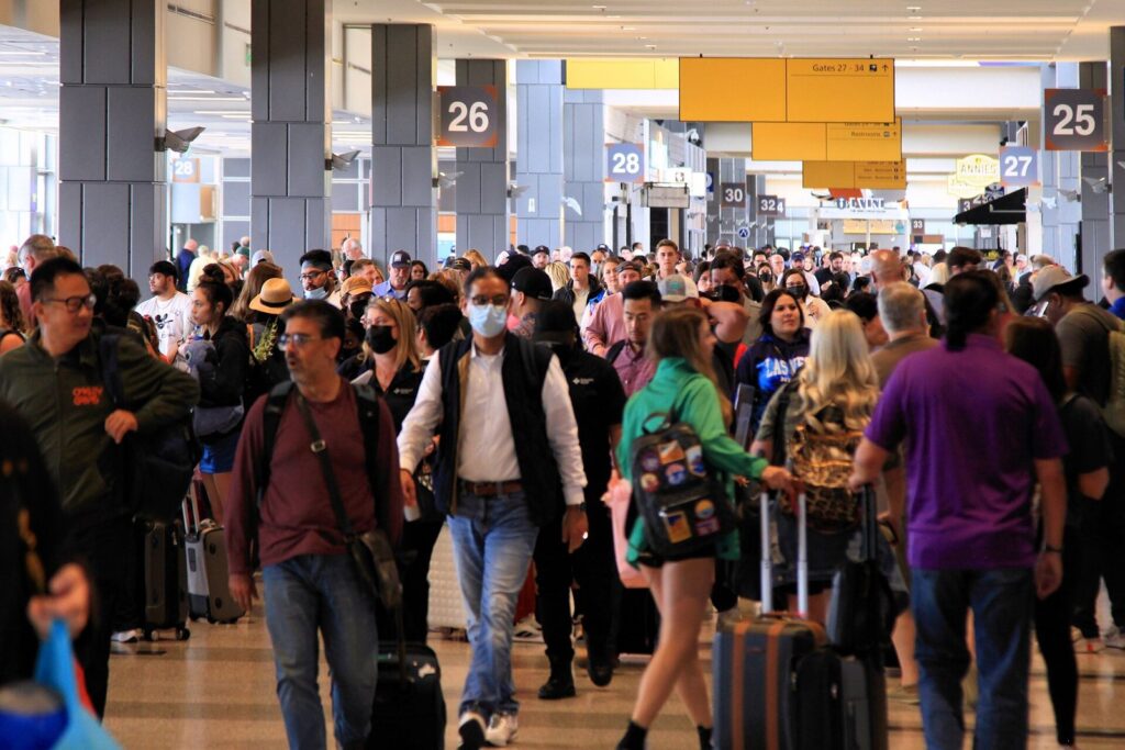
- Crowd in the Barbara Jordan Terminal, 2022: photo by Larry D. Moore, Wikimedia Commons (CC BY 4.0)
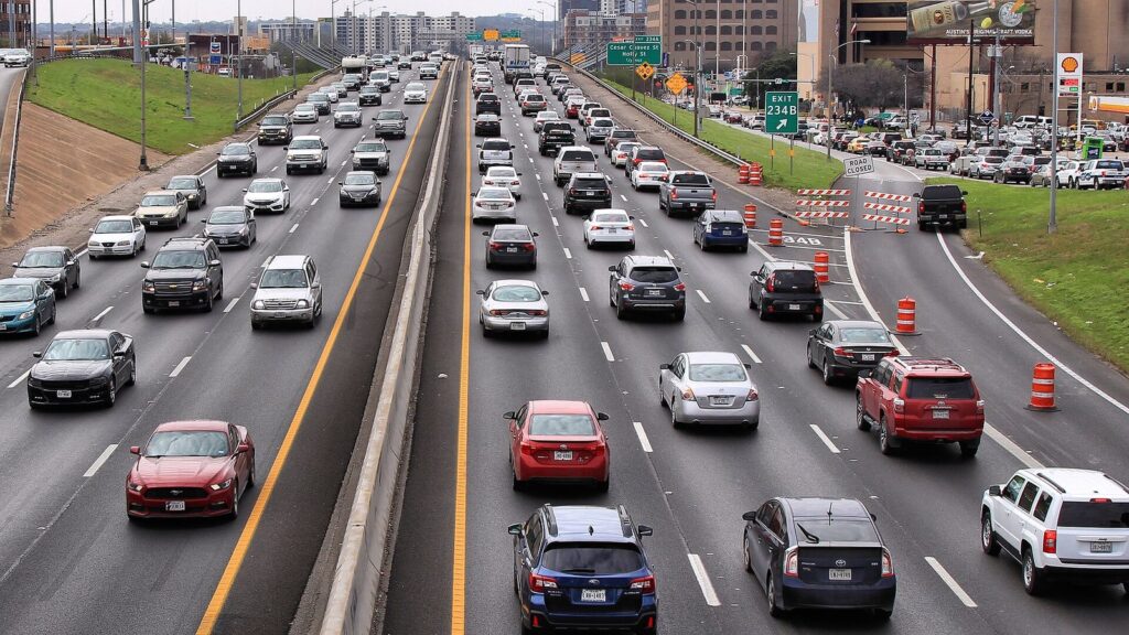
- Weekend traffic on I-35 in downtown Austin, 2019: photo by Larry D. Moore, Wikimedia Commons (CC BY 4.0)
- CapMetro Rail train on Comal Street: photo by Larry D. Moore, Wikimedia Commons (CC BY 4.0)
- Protected bike lane on Fourth Street, 2012: photo by Places for Bikes, Wikimedia Commons (CC0)
- Rental scooters during SXSW 2019: photo by Anthony Quintano, Wikimedia Commons (CC BY 2.0)
- Pfluger Pedestrian Bridge panorama, 2018: photo by Sk5893, Wikimedia Commons (CC BY-SA 4.0)
- Pfluger Pedestrian Bridge over Lady Bird Lake (featured image): photo by Bryan Rutherford, Wikimedia Commons (CC BY-SA 4.0)